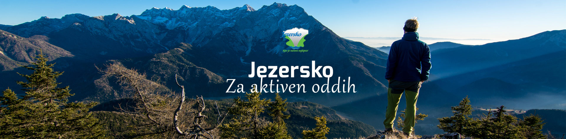
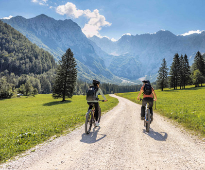
Mali vrh is the gentle panorama of the Jezersko set: forest climbing, a built lookout after ~4 km, then a bench at the end of the road above the Kokra.


Routes Alpine
An easygoing alpine spin from Zgornje Jezersko to the Mali vrh viewpoint and back.
46.40° N, 14.50° E
Mali vrh is the gentle panorama of the Jezersko set: forest climbing, a built lookout after ~4 km, then a bench at the end of the road above the Kokra.
Zyflow is a free app for finding bike-friendly places: stays, coffee stops, restaurants, chargers and bike services. You can see road closures and bike theft by area, and plan a ride between the places with your battery in mind.
Yes. Zyflow is free to download and use on iOS and Android.
Any bike: road, gravel, touring, mountain and e-bikes. With an e-bike, you also get the battery plan and chargers along the way.
Places with bike parking, secure storage, a pump or a charger are marked, and you can filter the map to show only bike-friendly places.
Yes. Get in touch through the contact form and we’ll add your place, with your bike parking, storage or charger on the map.
Questions, feedback or a place we’re missing? Email support@zyflow.eu. We read every message. Contact us
Is your place on this route?
Riders choose where to stop in Zyflow before they leave. Put your café, restaurant or stay in front of them, right on the route they are riding.
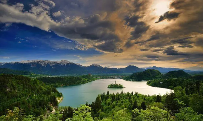

A full-day loop from Kranj to Lake Bled — Radovljica’s old square, Kropa’s forge streets, then the lake shore before the climb home.
79 km · 944 m
View route
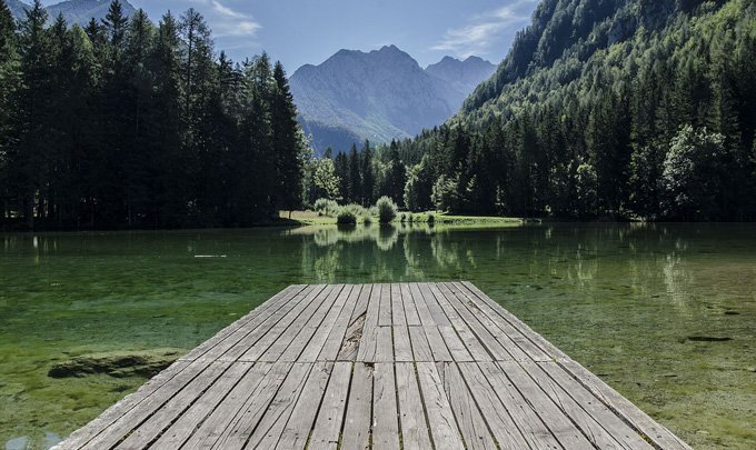
Follow the Kokra past Preddvor into Slovenia’s first Mountain Village — glacier valleys, alpine farms and quieter roads than the lake circuits.
76 km · 603 m
View route
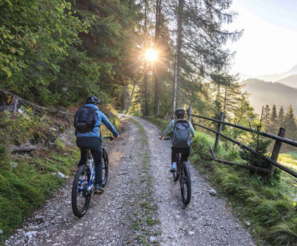
Climb to the former border crossing, then continue to Ankova planina for a full panorama of Ravenska Kočna and the Kamnik Alps.
18.2 km · 457 m
View route